

1
/
of
1
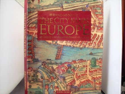
The City Maps of Europe: 16th Century Town Plans from Braun & Hogenberg
The City Maps of Europe: 16th Century Town Plans from Braun & Hogenberg
Book Details
- Author:
- John Goss (View on Goodreads)
- Binding:
- hardcover
- Publisher:
- Rand McNally
- Condition:
- Good - Used
- Category:
- World History
Author:
Binding:
ISBN:
Publication Year:
Note: A book in Good condition may show some signs of use or wear. A book in Acceptable condition may contain highlighting/underlining and/or the book may show heavier signs of wear. It may also be ex-library or without dustjacket.
Regular price
$12.00 USD
Regular price
$50.00 USD
Sale price
$12.00 USD
Shipping calculated at checkout.
This volume beautifully reproduces a selection of plates from one of the finest extant sets of one of the most remarkable atlases ever produced, Braun & Hogenberg's Civitates Orbis Terrarum or "Cities of the World," first published in six volumes between 1572 and 1617. Goss's knowledgeable narrative is full of interesting information about the maps and the history of the cities. 11.25x15.25". Annotation copyright Book News, Inc. Portland, Or.
Quantity
SKU:*R0016117*
In-Store Purchase Only:
This book is only available at our retail locations.
Please call the store to see if the book may possibly be in stock.
Share
EMAIL SIGNUP